
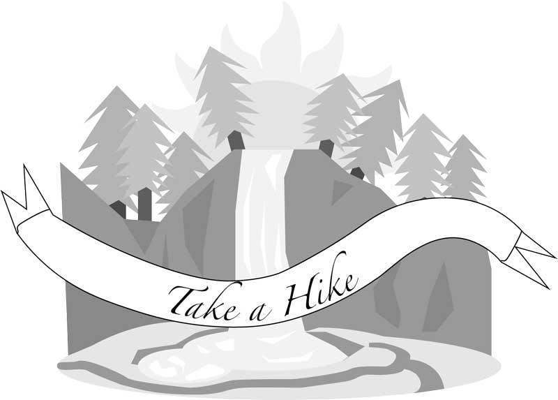
TAKE A HIKE
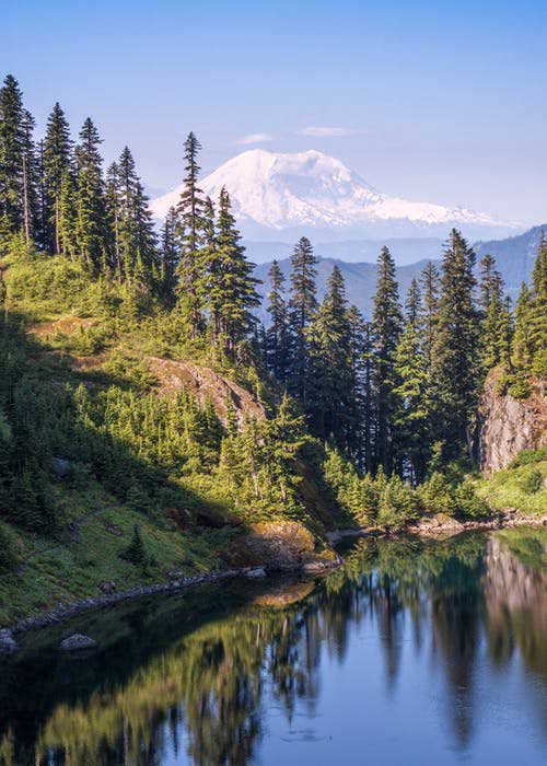
Following the Eagle Creek wildfire of September 2017, many of the major hiking and recreational sites in the Columbia River Gorge have been closed, some indefinitely. Before summer begins, we’d like to equip you with a list of those trails in Oregon and Washington that ARE open. Check the link below for updates!
Washington Hiking Areas
Augspurger Mountain
Balfour-Klickitat Loop
Cape Horn Loop (seasonal partial closure through July 15)
Dog Creek Falls
Dog Mountain Loop
Fort Cascades Heritage Trail Loop (Couple with Strawberry Island Loop)
Gillette Lake & Greenleaf Overlook
Lyle Cherry Orchard
Sams Walker Loop
St. Cloud Loop and Day Use Area
Steigerwald National Wildlife Refuge (Gibbons Creek Trail seasonal partial closure Oct. 1)
Table Mountain
Washougal Waterfront Trail
Weldon Wagon
Whistle Punk Interpretive Trail Loop
Battle Ground Lake State Park
Beacon Rock State Park
Beacon Rock trail
Hamilton Mountain Loop
Hardy and Rodney Falls (Pool of the Winds)
Hardy Ridge Loop
River-to-Rock
Catherine Creek Area
Catherine Creek Arch Loop
Catherine Creek Labyrinth
Catherine Creek Universal Access Loop
Crawford Oaks Loop
Dalles Mountain Ranch to Stacker Butte
Horsethief Butte
Horsethief Lake Petroglyphs (reservations: 509-439-9032)
Gifford Pinchot National Forest
Falls Creek Falls
Mount St. Helens West Side and Johnston Ridge Observatory
Mount St. Helens East Side
Lewis River Falls
Panther Creek Falls
Klickitat State Park Trail
Fisher Hill to Klickitat
Fisher Hill to Pitt
Lyle to Fisher Hill
Swale Canyon
Oregon Hiking Areas
Angel’s Rest
Angel’s to Devils Rest
Benson Plateau Loop
Dry Creek Falls
Dry Creek Falls to Herman Creek
Herman Creek to Casey Creek
Herman Creek to Mud Lake
Horsetail Falls to Ponytail Falls
Indian Point Loop
Larch Mountain Trail (from Multnomah Falls) *recently reopened
Mitchell Point
Mosier Creek Falls
Mosier Plateau
Mosier Twin Tunnels
Multnomah Falls (to top of falls)
Nick Eaton Ridge
North Lake
Rowena Plateau
Sandy River Delta
The Dalles Waterfront Trail
Wahkeena Falls
Oregon State Parks
Bonnie Lure State Recreation Area
Bridal Veil Falls State Park
Dabney State Recreation Area
Deschutes River State Recreation Area
Guy Talbot State Park (trailhead for Latourell Falls)
Latourell Falls
Lewis and Clark State Recreation Site
Government Island State Recreation Area
Memaloose State Park
Milo McIver State Park
Portland Women’s Forum State Scenic Viewpoint
Rooster Rock State Park
Rooster Rock Loop
Tooth Rock
Starvation Creek State Park
Hole-in-the-Wall Falls
Lancaster Falls
Mount Defiance
Starvation Creek Falls
Starvation Creek to Warren Lake
Leave a comment